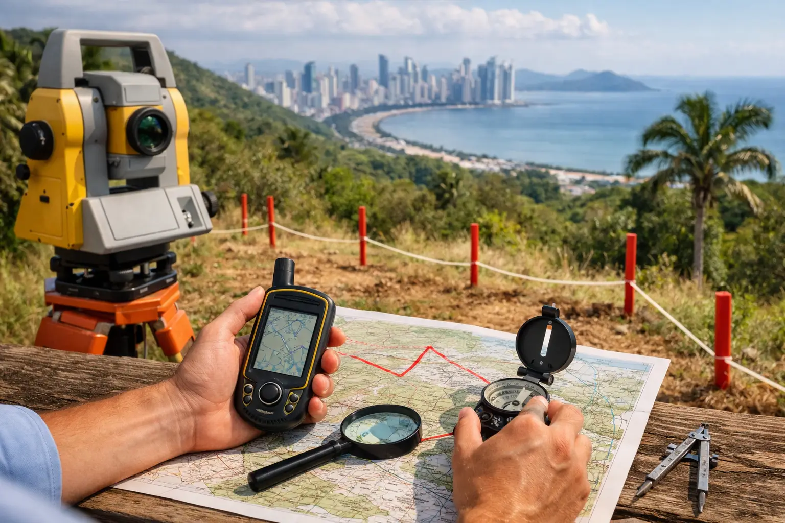
A fence, coffee hedge, or drainage ditch may look like a clear boundary in Chiriquí. It may also be in the wrong place. Before committing to a home lot in Boquete, acreage in Tierras Altas, or an investment parcel near David, learning how to verify property boundaries can prevent an expensive dispute, a delayed closing, or a building plan that cannot move forward.
In Panama, a boundary is not established by a neighbor’s memory or by the line a previous owner has maintained for years. The reliable answer comes from matching the property’s legal description, registered information, survey documentation, and physical conditions on the ground. Those pieces do not always match perfectly, particularly with older rural properties or land that has changed hands several times.
Start With the Property’s Legal Description
Ask to review the current title information and the legal description of the property before treating its stated size or shape as fact. In Panama, this typically means confirming the finca number and reviewing the registered ownership and property details through the appropriate public records process.
The legal description may identify the property’s area, adjoining owners, landmarks, measurements, coordinates, or other boundary references. Older descriptions can be less precise than modern coordinate-based surveys. A document that says the land runs from a creek to a particular tree line may have been adequate decades ago, but it demands closer professional review before a modern purchase or construction project.
The first question is simple: does the seller’s documentation describe the same parcel being shown to you? If the broker points out one area, the owner identifies another, and the documentation appears to cover something different, pause the process. A lower purchase price does not compensate for uncertainty over what is actually being transferred.
Compare Registry Information With Cadastral Records
Title registration and cadastral information serve related but different purposes. The Public Registry confirms matters such as ownership, recorded rights, and encumbrances. Cadastral records help identify and map the land for administrative and tax purposes. Both should be reviewed as part of a careful due diligence process.
A property can have a registered title while the mapped dimensions, stated area, or boundary references need clarification. This is especially common in areas where historic land descriptions predate detailed mapping, or where neighboring parcels have been subdivided over time.
Look for consistency in the finca number, owner’s name, parcel area, and location. Small differences are not always a reason to walk away. Sometimes they reflect a mapping update or a clerical issue that can be corrected. Larger inconsistencies, however, may require a survey, a boundary adjustment, or legal work before closing.
Do not assume that a tax receipt proves the exact extent of ownership. It can support the file, but it is not a substitute for title review and a qualified survey.
Order a Current Professional Survey
For most buyers, the strongest practical step is hiring a qualified Panamanian survey professional to measure and identify the parcel on site. This is particularly wise when buying land, a rural home, a parcel intended for development, or any property where the visible edges are unclear.
A current survey can establish the relationship between the legal documentation and the physical terrain. The surveyor may locate existing monuments, measure boundaries, review coordinates, identify encroachments, and produce a plan showing what is present. In hilly parts of Boquete or Tierras Altas, where terrain, streams, and vegetation can make visual assumptions unreliable, this work is worth doing before final commitments are made.
Ask whether the survey is recent and whether it reflects the exact parcel offered for sale. A drawing from years ago may be useful background, but it may not reflect road changes, adjacent construction, subdivision activity, or altered physical markers.
If the property includes valuable improvements near an edge – a home, retaining wall, driveway, gate, or irrigation system – make sure the survey addresses those areas specifically. The issue is not only where the line falls. It is whether the improvements sit entirely within the property and whether their use depends on a neighbor’s land.
Inspect Markers, Fences, and Natural Features Carefully
Once you have documentation and a survey plan, walk the property with the surveyor or a knowledgeable local representative. Look for concrete monuments, stakes, boundary markers, walls, fences, drainage channels, roads, rivers, and ravines that appear in the documents.
Visible features are evidence to investigate, not proof by themselves. A fence may have been placed for livestock management, privacy, or convenience rather than on the legal line. A road may cross part of a parcel without creating a formal right of way. Even a stream can raise questions if its course has shifted over time.
Pay special attention to properties with steep ground or dense vegetation. In these settings, a claimed lot line can be difficult to see and easy to misrepresent unintentionally. A professional site visit is far more reliable than relying on aerial imagery, a hand-drawn map, or an informal walk with the seller.
Confirm Access Is Legal, Not Just Physical
A property can have a clearly defined boundary and still be a poor acquisition if access is uncertain. This is one of the most overlooked issues in rural Panama real estate.
Seeing a driveway to a property does not automatically mean the buyer has a recorded right to use it. The road may cross another owner’s land, be used by custom rather than legal agreement, or depend on a relationship that changes after the sale. Verify whether access is through a public road, a recorded easement, or another legally documented arrangement.
The same discipline applies to utilities. If water lines, electrical connections, septic systems, or drainage routes cross a neighboring parcel, confirm the relevant rights and responsibilities. These details matter greatly for a remote owner, rental property investor, or buyer planning future construction.
Speak With Neighbors, But Do Not Rely on Verbal Assurances
A respectful conversation with adjoining owners can reveal valuable context. They may know about a former disagreement, a shared road arrangement, seasonal drainage, an old subdivision, or a marker that was moved after a storm. This local knowledge can be very useful during due diligence.
Still, verbal understanding is not a legal boundary agreement. A neighbor may sincerely believe a fence marks the property line while title records and a survey indicate otherwise. If an issue emerges, document it and seek professional advice before proceeding. It is much easier to resolve a concern before closing than to negotiate after you own the property.
Watch for Common Boundary Warning Signs
Boundary problems rarely announce themselves in one obvious document. They often show up as a pattern of small inconsistencies. Take extra care when you encounter four or more of the following:
- The advertised acreage differs materially from the registered or surveyed area.
- The seller cannot identify boundary markers or provide a current survey.
- A fence, road, home, wall, or farm structure appears close to a property edge.
- The parcel is accessed through land owned by someone else.
- Neighbors describe a different boundary than the seller does.
- The property description relies heavily on old landmarks or vague directional language.
- A proposed subdivision or construction plan does not fit comfortably within the surveyed area.
None of these facts automatically means the property is unsuitable. They mean the transaction needs more time, better documentation, and the right professionals involved.
Build Boundary Verification Into the Purchase Process
Make boundary review a condition of your due diligence, not an afterthought after you have committed funds or scheduled construction. A qualified real estate advisor can help coordinate the document review, site inspection, survey professional, and legal counsel so that the information is considered together rather than in isolation.
For an international buyer, this coordinated approach is especially valuable. You may not be available to visit the site repeatedly, follow up with neighboring owners, or evaluate whether a rural access route remains practical in the rainy season. Personalized local support can turn a confusing file into a clear decision based on verified facts.
The right property should give you confidence not only in its location and potential, but in the land you are truly acquiring. Verify the lines before you build plans around them.

Leave a Reply